See full-size image (876KB).
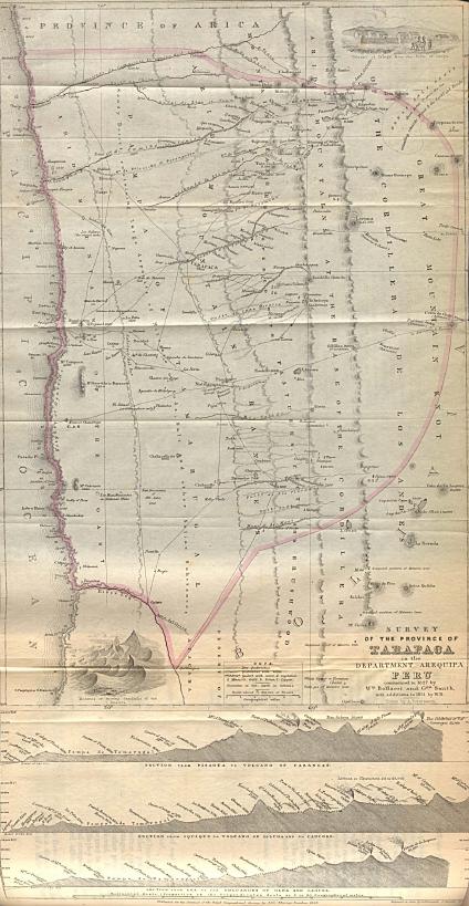
Peru - Tarapaca Province 1851. "Survey of the Province of Tarapaca in the Department of Arequipa Peru commenced in 1827 by Wm. Bollaert and Geo. Smith with additions to 1851 by W.B." From The Journal of the Royal Geographical Society.
