- Political Map 1976
- Satellite Photo 2003
- Small Scale Map 2005
- Small Scale Map 2005
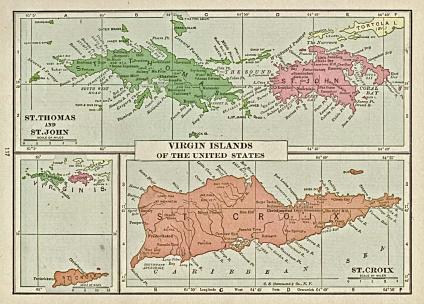
- Virgin Islands Map 1920
- Christiansted Map Topographic
- Charlotte Amalie Map Topographic
See full-size image (323KB).
From: Putnam's Handy Volume Atlas of the World, with an Index of Cities and Towns giving the Complete 1920 Census of the United States and lists of the Countries and Cities of the World, With Latest Population Figures and Useful Statistical Information. 1921
