|
|
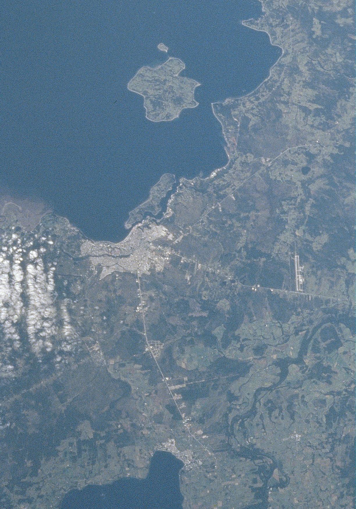
Satellite Image, Photo of Puerto Montt, Chile |
|

From: NASA
The small city of Puerto Montt is visible 12 miles (18 km) south of Lake Lianquihue. Located at the northern end of the Gulf of Ancud, Puerto Montt is the terminus of the southern railroad and the starting point for navigation through the inland waterways and among the many islands to the south. The city is a popular tourist resort. Sheep farming and fishing are also important industries in the region. The Gulf of Ancud covers the left center and upper left of the image.
|
|