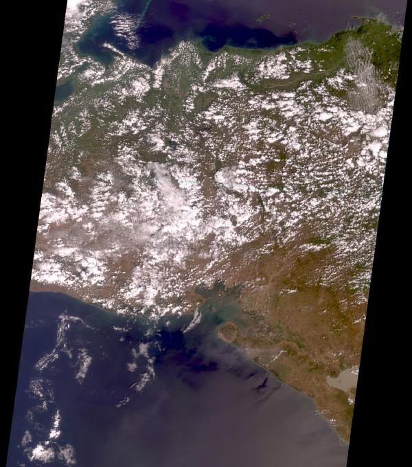
Satellite Image, Photo of Honduras & Nicaragua

Honduras and Nicaragua, February 26, 2000. This true-color image was taken by the Multi-angle Imaging SpectroRadiometer (MISR) camera looking straight down toward Earth. The Golfo de Honduras is at the north edge (top) of the image and the Pacific Ocean is at the south. Differences in greenness are apparent along the east edge of the observed area, between Honduras (to the north) and Nicaragua (to the south). Runoff from the land is visible in the Golfo de Fonseca, about midway along the southern coastline. A chain of active volcanoes extends along the coast from the Golfo de Fonseca southeast to the edge of the image. San Cristobal, a volcano at about the middle of the chain, erupted on February 25, 2000. A thin plume from San Cristobal, blown to the west and out over the Pacific Ocean, is barely visible. Data for all channels were mapped to a Space Oblique Mercator map projection to create this 275-m resolution color composite.