- Shaded Relief 1991 JPG, PDF formats
- Small Scale Map 2004
- Economic Activity Map
- Ethnic Groups Map
- Population Map
- Vegetation Map
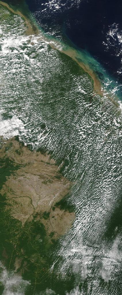
See full-size image (757KB).
Credit: Jeff Schmaltz, MODIS Rapid Response Team, NASA/GSFC
This true-color Moderate Resolution Imaging Spectroradiometer (MODIS) image shows a few scattered fires (red dots) in Guyana.
